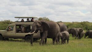



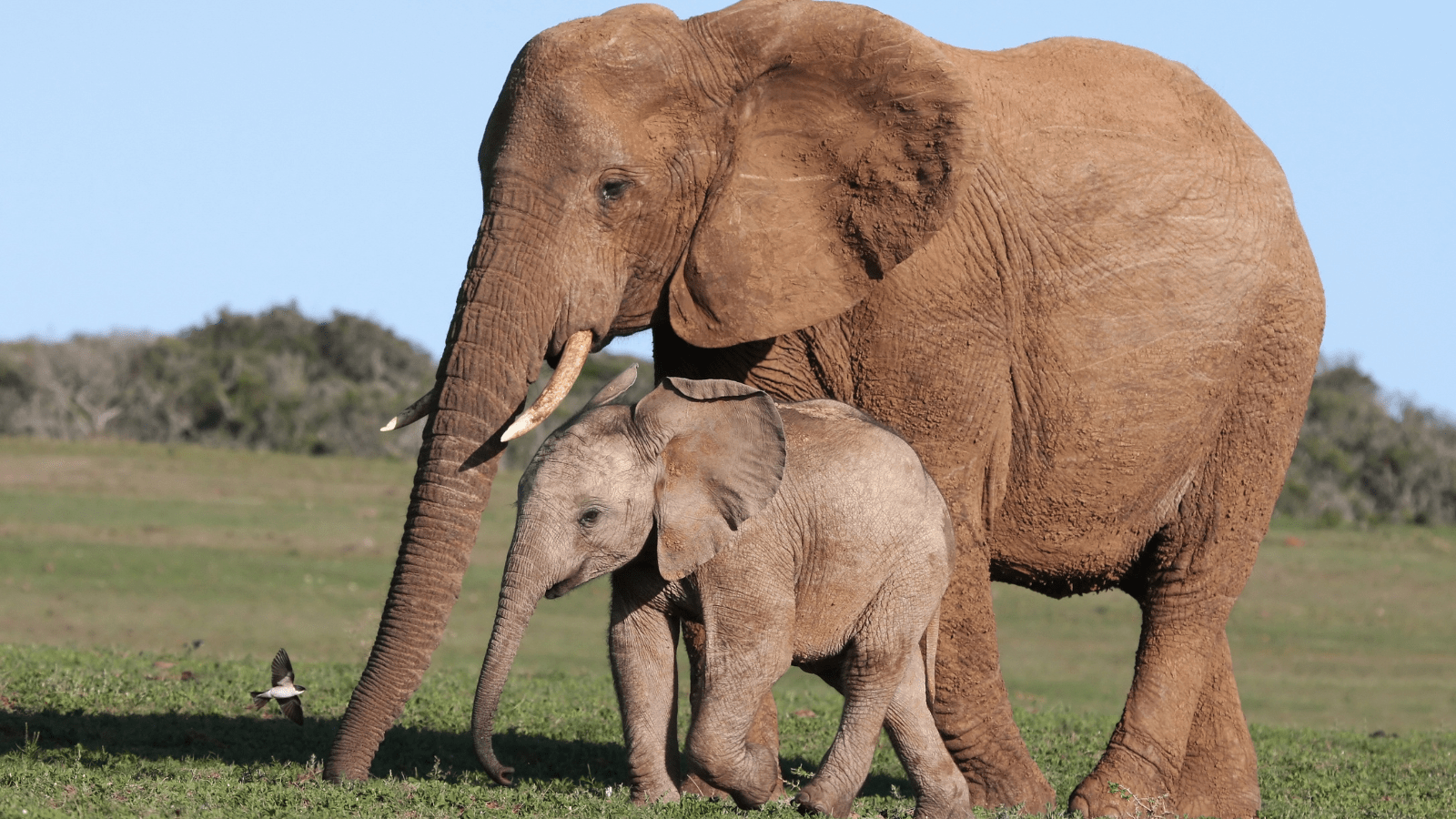
Two of Tanzania’s national parks are connected again by a protected corridor after 368 farmers gave up land in exchange for compensation
Tanzania: Elephants have their old route back
By the Editorial Team
“An elephant does not know where a national park ends. It follows the rain, food and routes that generations before it have used.
In Tanzania’s southern Kilombero Valley, one of these routes once connected the forests of the Udzungwa Mountains with the vast landscapes towards Nyerere. But as forests were cleared for agriculture, the space between the protected areas became increasingly narrow.
The elephants did not stop moving. They began travelling through farmland. For families who depend on their crops, this created serious conflict, while the animals faced dangerous encounters with people as they moved through the valley”.
A Wildlife Route Through Agricultural Land
The Nyerere-Udzungwa Wildlife Corridor was officially designated in April 2025 as Tanzania’s first wildlife corridor to receive this protected status. The corridor connects Udzungwa Mountains National Park with Nyerere National Park through the Magombera forest area.

It is a conservation project, but it is also an agreement about how people and large wild animals can share the same landscape.
On a map, the connection between two national parks may look simple. On the ground, however, the route passes through village land where people have cultivated small plots of farmland. No one could simply draw a line and expect the elephants to follow it.
Work to restore the route began in 2018. The Southern Tanzania Elephant Programme (STEP) reports that more than 300 meetings were held with local communities, authorities and other stakeholders before the location of the corridor was agreed.
The corridor was designed to follow known elephant movements while also taking into account areas where conflicts caused by crop damage were most serious.
 |
 |
Local Farmers Have Been Part of the Solution
In the villages of Sole, Mang’ula A and Kanyenja, around seven percent of village land was allocated to the corridor.

All 368 farmers whose plots fell within the designated area received compensation according to Tanzanian regulations. According to STEP, there were no homes on the land included in the project.
This is an important part of the story.
The elephants’ passage has become possible because the people who previously cultivated the land were involved in the process and received compensation. Local representatives also participate in managing the corridor, while village wildlife scouts patrol the area.
Whether this cooperation continues over the long term will be important to the future success of the corridor.
Camera Traps Show That Wildlife Is Using the Corridor
The first results are already visible in images from camera traps.
According to figures provided by STEP to Mongabay, at least 1,440 mammal passages were recorded over a period of 15 months. Of these, 529 were elephant records.
Other animals recorded in the corridor include buffaloes, servals, honey badgers and monkeys.
The figures show that wildlife is using the passage. They do not necessarily mean that 529 individual elephants travelled through it, because the same animal may have been recorded more than once.
It is also too early to determine how much the corridor will reduce human-wildlife conflict or strengthen connections between wildlife populations in the long term.
But the camera images provide a clear answer to the first question:
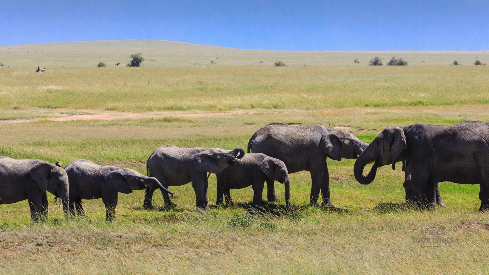
Will the animals find and use the route that has been opened for them?
“They already are”.
Restoring More Than a Route
The corridor is more than a piece of land without crops.
A road crosses the area, and an underpass has been created to allow animals to move beneath it. Boundaries and fencing are intended to help keep elephants on the designated route and away from neighbouring farmland. According to STEP, work on the fencing is still continuing.
Around 100,000 young trees of native species have also been planted so that parts of the former agricultural land can gradually develop more natural vegetation.
The trees will not turn the valley floor back into a forest in a single season. They must establish themselves and survive while the corridor continues to be maintained and protected.
Nevertheless, the project demonstrates that it is possible to begin repairing a broken ecological connection, even in a landscape where people have been using the land for agriculture for many years.
Why National Parks Cannot Stand Alone
Tanzania is known for its large protected areas, but a national park boundary only protects what lies within it.
For animals that move according to seasonal changes, the areas between protected landscapes can be just as important as the parks themselves.
This is particularly true in the Kilombero Valley, where elephant routes that were once covered by forest were gradually converted into agricultural land over roughly 50 years.
The corridor is intended to create a connection from the mountain forests of Udzungwa, through Magombera, towards the savannah and forest landscapes of Nyerere.
The differences between these environments are precisely what make freedom of movement important. Food and water are not necessarily found in the same places throughout the year.
The Corridor Does Not Solve Every Problem
Protection alone will not solve every challenge.
STEP itself points out that development projects that are incompatible with the corridor’s purpose could still threaten the connection.
For farmers living along the route, it is also essential that elephants are able to pass through the corridor without moving into cultivated fields.
A wildlife corridor must work for the neighbouring communities if it is to survive in the long term.
An Agreement That Must Last for Generations
What makes the Nyerere-Udzungwa corridor particularly significant is not only that elephants are once again being photographed travelling through the valley.
It is that the passage has been created through agreements involving land, compensation and local management.
Here, conservation depends on the same people who experience the costs when large wild animals come too close to their farms.
The project has not yet proved that human-wildlife conflicts have been solved. Nor has it recreated the forest that once covered the route.
But it has secured an official place for wildlife movement in a landscape where that space was gradually disappearing.
For an elephant travelling through the Kilombero Valley, the difference is tangible.
Where its route once led between cultivated fields, there is now a passage that people have decided to keep open.
The National Parks Connected by the Elephant Corridor
Nyerere National Park is located in southern Tanzania and was established in part of the former Selous Game Reserve. The park contains forests, open plains, wetlands and the many channels of the Rufiji River.
The park is home to elephants, buffaloes, lions and African wild dogs.
Udzungwa Mountains National Park protects a very different environment: mountain forests rising above the lower landscapes surrounding the Kilombero Valley.
Between the two parks lies Magombera Nature Forest Reserve, which forms part of the ecological connection that the new corridor is intended to protect.
The corridor itself is not a national park. Its purpose is to connect protected areas across land that is also important to local communities.
That is why the future of the elephants’ route depends not only on conservation measures, but also on agreements with the people who live and farm along it.